

NRDS Mobile Mapping ('Āina) app for iPhone and iPad
Developer: Natural Resource Data Solutions Inc.
First release : 04 Jul 2018
App size: 39.55 Mb
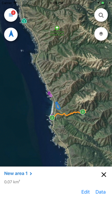
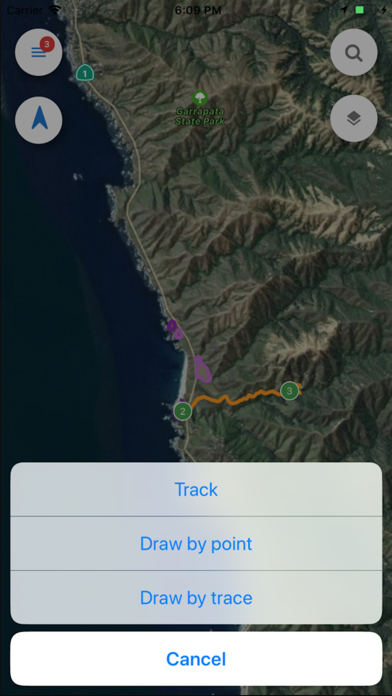
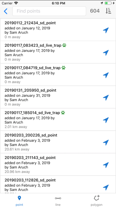
Mapping and data collection has never been more easy, accurate, and efficient. Geotag photos, record tracks, save waypoints, trace lines, draw polygons, and so much more with the NRDS app. Utilizing your device’s GPS, this mapping and data collection tool works both on and offline. Working in conservation or agriculture? Doing some surveying or hiking? This dependable app is designed for you.
ENHANCE YOUR NRDS CAPABILITIES
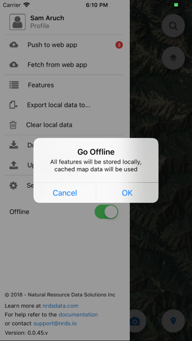
With credentials you can sync data to the nrds.io web platform and access features including but not limited to:
• Develop comprehensive reports
• Track work hours
• Share data between partners
• Bulk data uploads and exports
• Design downloadable surveys
• Organize your GIS features
• Manage users, teams, and contact lists
• Browse your photo gallery
• Build projections